
RedKalion
Brazil Topographic Map Art Print | Premium Fine Art Print | RedKalion
Brazil Topographic Map Art Print | Premium Fine Art Print | RedKalion
Couldn't load pickup availability
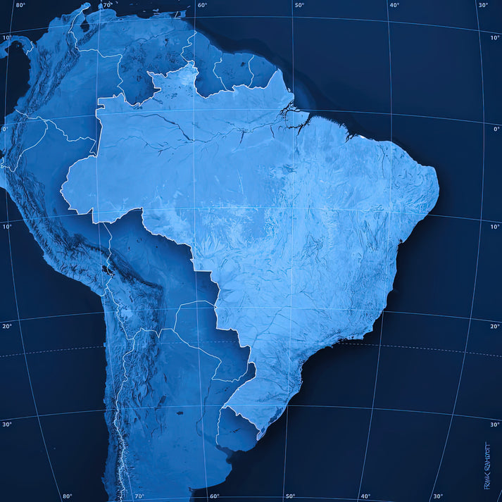
This Brazil Topographic Map art print transforms geographical data into a striking visual narrative. It depicts the nation's dramatic terrain—from the Amazon Basin's lowlands to the Serra do Mar's coastal escarpments—through precise contour lines and elevation gradients. The minimalist aesthetic highlights Brazil's vast scale and natural diversity, making it an ideal piece for design enthusiasts and geography aficionados.
Brazil Topographic Map: A Visual Exploration of Terrain
Created from satellite-derived elevation models, this map uses hypsometric tints to represent altitude variations. Cooler tones indicate lower elevations like the Pantanal wetlands, while warmer hues mark the Brazilian Highlands. The subtle gradient shifts reveal geological patterns often obscured in traditional political maps.
Stylistic Analysis of This Topographic Art Print
The design employs a restrained color palette and clean typography to emphasize form over decoration. This approach aligns with modernist cartographic principles, where clarity of information becomes the primary aesthetic. The result is a piece that functions equally as scientific reference and contemplative artwork.
Print Specifications & Materials
- Available Sizes: 75×100 cm / 30×40″, 40×50 cm / 16×20″, 21×29.7 cm / 8×12″
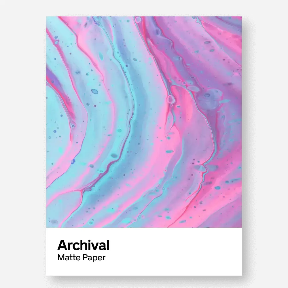
- Paper Finishing: Matte, uncoated, natural white (off-white)
- Acid-Free: pH above 7 to prevent yellowing over time
- Paper Weight: 250 gsm (110 lb) | Thickness: 0.29 mm (11.4 mils)
- Sustainable Paper: FSC-certified
RedKalion's archival print of this Brazil Topographic Map ensures lasting quality for display in homes, offices, or educational settings. Our museum-grade standards preserve every contour detail.

Discover Unlimited Art Possibilities
At RedKalion, you can find virtually any artwork from any artist, available in a wide range of sizes to perfectly match your space.
If you didn’t find what you’re looking for, contact us at support@redkalion.com . We will source any artwork and produce it in any size and format you need, including art prints, posters, canvas, framed pieces, framed canvas, and more.
For dedicated art enthusiasts, we also offer handcrafted replicas of any artwork, carefully painted by highly skilled artists using traditional techniques.
For custom requests, contact us at support@redkalion.com .
What is the source data for this Brazil Topographic Map?
This print uses NASA SRTM elevation data processed with hypsometric tinting to show Brazil's terrain from the Amazon lowlands to highland plateaus.
What paper types are available for this art print?
We use FSC-certified, acid-free 250 gsm matte paper in natural white. It prevents yellowing and ensures archival longevity for your topographic map.
How is this topographic map shipped and packaged?
Prints are shipped flat in protective packaging with cardboard stiffeners to prevent damage during transit, ensuring your Brazil map arrives pristine.
How long will the colors on this print last?
With acid-free paper and archival inks, colors remain vibrant for decades without fading or yellowing under normal display conditions.
What are the exact dimensions of the available sizes?
Choose from 75×100 cm (30×40″), 40×50 cm (16×20″), or 21×29.7 cm (8×12″) for this Brazil Topographic Map art print.
Which Brazilian mountain ranges are visible on this map?
The map clearly shows the Serra do Mar, Serra da Mantiqueira, and Chapada Diamantina ranges through contour lines and elevation shading.
How does this map depict the Amazon Basin?
The Amazon region appears in cool green-blue tones indicating low elevation, with subtle contours revealing the basin's gradual terrain changes.