
RedKalion
Cologne Germany City Map Art Print | Premium Cartographic Reproduction | RedKalion
Cologne Germany City Map Art Print | Premium Cartographic Reproduction | RedKalion
Couldn't load pickup availability
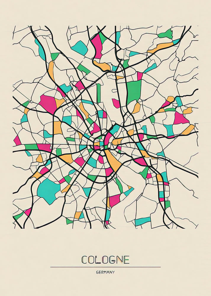
This Cologne Germany city map art print captures the historic urban layout of Köln, blending 19th-century cartographic precision with decorative artistry. The map details the Rhine River's curve, medieval street patterns, and landmarks like the Cologne Cathedral, offering a window into the city's architectural evolution during the German Confederation era.
Historical Context of This Köln City Map
Originating from the mid-1800s, this map reflects Cologne's transformation post-Napoleonic Wars, as Prussia invested in infrastructure. The meticulous engraving style, with shaded relief and ornate typography, typifies the Biedermeier period's emphasis on order and beauty in utilitarian documents.
Stylistic Analysis of the Germany Map Köln
Notice the balanced composition: the Rhine anchors the design, while radial streets from the Altstadt create visual rhythm. Hand-colored accents on districts like Neustadt highlight urban expansion, making this more than a navigational tool—it's a sociopolitical artifact of a burgeoning industrial center.
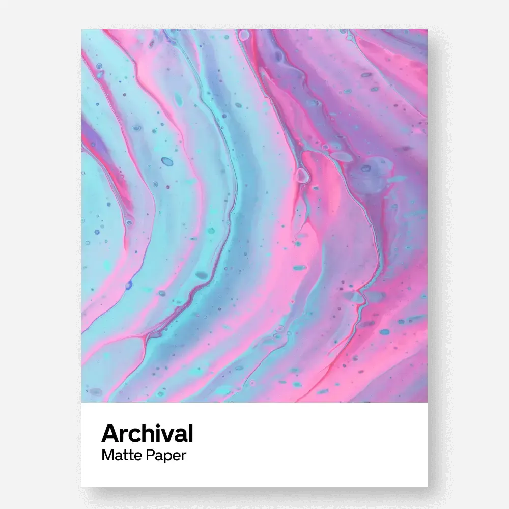
Print Specifications & Materials
- Available Sizes: 75×100 cm / 30×40″, 40×50 cm / 16×20″, 21×29.7 cm / 8×12″
- Paper Finishing: Matte, uncoated, natural white (off-white)
- Acid-Free: pH above 7 to prevent yellowing over time
- Paper Weight: 250 gsm (110 lb) | Thickness: 0.29 mm (11.4 mils)
- Sustainable Paper: FSC-certified
RedKalion's reproduction ensures archival quality, allowing this Cologne Germany city map to serve as a lasting decorative piece for historians, travelers, and design enthusiasts seeking authentic cartographic art.

Discover Unlimited Art Possibilities
At RedKalion, you can find virtually any artwork from any artist, available in a wide range of sizes to perfectly match your space.
If you didn’t find what you’re looking for, contact us at support@redkalion.com . We will source any artwork and produce it in any size and format you need, including art prints, posters, canvas, framed pieces, framed canvas, and more.
For dedicated art enthusiasts, we also offer handcrafted replicas of any artwork, carefully painted by highly skilled artists using traditional techniques.
For custom requests, contact us at support@redkalion.com .
What is the historical period of this Cologne Germany city map?
This map dates to the mid-19th century, reflecting Cologne's urban layout during the Prussian administration and Biedermeier artistic trends.
What paper is used for this Köln city map art print?
We use FSC-certified, acid-free 250 gsm matte paper to ensure durability and prevent yellowing, ideal for long-term display.
How is this Germany map Köln shipped to protect it?
Prints are shipped flat in rigid packaging to prevent creasing, with tracking provided for secure delivery of your cartographic art.
Will this Cologne Germany city map fade over time?
Our archival inks and acid-free paper resist fading and yellowing, preserving the map's detail for decades under normal indoor conditions.
What landmarks are featured on this Köln city map?
Key landmarks include the Cologne Cathedral, Rhine River bridges, the Altstadt, and historic gates, showcasing the city's medieval and industrial layers.
Is this map based on an original antique source?
Yes, it reproduces a 19th-century cartographic engraving, maintaining the original's accuracy and decorative elements for authentic historical appeal.